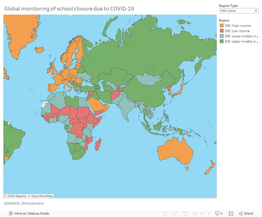
Use the cursor to access current data on a country’s school monitoring status, school closure in weeks, distance learning modality used, students reached through distance learning in each level of education, school age population affected and teacher population affected. The drop down menu also allows you visualize the map by income level or GPE country.